Merton to Bonnie Doon map
GVRT Merton to Bonnie Doon
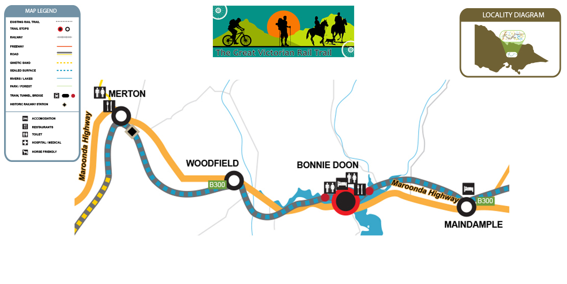
The distance between Merton and Bonnie Doon is 15kms. Merton is the highest peak of the trail.
There are toilets at Merton at the Merton Recreation Reserve, 800m down the Euroa Mansfield Road on your left.
There are toilets at Bonnie Doon as well.
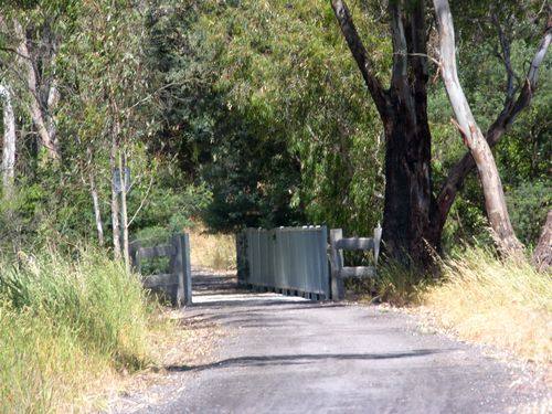
The most scenic bridge crossing is at Bonnie Doon with spectacular water views.
It is most important that horse riders dismount on this bridge.